POSTER Session 4
Thursday, October 10
11:10–12:50
Poster Session | 1 | 2 | 3 | 4 | Instructions | Schedule at a Glance
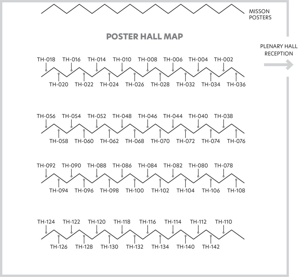
ABSTRACT 738 | POSTER TH-134
MONITORING WATER QUALITY IN THE LOWER MEKONG BASIN USING HIGH SPATIAL RESOLUTION SATELLITE OBSERVATIONS (SENTINEL-2 AND LANDSAT): A CASE STUDY OF TONLE SAP LAKE (CAMBODIA)
The quantification of water quality (WQ) parameters (i.e., SPM, CHLA, TUR, water levels, LST, etc.) over time is crucial in numerous economic, societal and environmental aspects including biodiversity, erosion and accumulation of sediments, transport of pollutants, fisheries productivity, urbanization/agriculture, drinking water resources management, navigation ability, etc. The largest freshwater lake in Southeast Asia, the Tonle Sap lake (TS) in Cambodia, acts as a “buffer” in the hydrology of the Mekong downstream of its confluence with the TS River, and special attention has been paid to this hydrosystem via a multi-sensor spatial remote sensing approach at high spatial resolutions (e.g., Sentinel-2, Landsat) or even at moderate resolutions (e.g., S3, MERIS, MODIS-A). The main objective of the VolTransMESKONG (CNES/TOSCA) project consists of improving our understanding of the spatio-temporal pattern changes of 1) water body extents, including flooding events, and 2) WQ changes. Initially focusing on the TS lake, this work has enabled the mapping of SPM/TUR, CHLA, LST, water surfaces, thus allowing the hydro-sedimentary variability to be traced in detail between 2002 and 2023. Similar assessments are also undertaken from upstream to downstream of the lake. Here we used a processing chain including: 1) several atmospheric corrections; 2) water surface estimates without sunglint effects, clouds and shadowing effects; 3) appropriate SPM/CHLA/LST algorithms to be fully reproducible in a wide range of environmental conditions as well as water types over this particular inland hydro-system. Additionally, in situ measurements are used to assess the robustness of our remotely sensed products using match-up techniques.
Charles Verpoorter, Laboratoire d’Océanologie et de Géosciences (LOG), Centre National de la Recherche Scientifique (CNRS) 8187, and Université du Littoral Côte d’Opale (ULCO), France, [email protected], https://orcid.org/0000-0002-5134-4124
Masson Julien, Laboratoire d’Océanologie et de Géosciences (LOG), Centre National de la Recherche Scientifique (CNRS) 8187, France, [email protected]
Chanthol Peng, ITC, Université du Littoral Côte d’Opale (ULCO), France, [email protected]
Lun Sambo, ITC, Université du Littoral Côte d’Opale (ULCO), France, [email protected]
Pen Sytharith, ITC, Université du Littoral Côte d’Opale (ULCO), France, [email protected]
Hubert Loisel, Laboratoire d’Océanologie et de Géosciences (LOG), Centre National de la Recherche Scientifique (CNRS) 8187, France, [email protected]
Xavier Mériaux, Laboratoire d’Océanologie et de Géosciences (LOG), Centre National de la Recherche Scientifique (CNRS) 8187, France, [email protected]
Jacinthe Caillaud, Laboratoire d’Océanologie et de Géosciences (LOG), Centre National de la Recherche Scientifique (CNRS) 8187, France, [email protected]
Cédric Jamet, Laboratoire d’Océanologie et de Géosciences (LOG), Centre National de la Recherche Scientifique (CNRS) 8187, France, [email protected]
Frédéric Frappart, Laboratoire d’Etudes en Géophysique et Océanographie Spatiales (LEGOS), France, [email protected]
Sylvain Biancamaria, Laboratoire d’Etudes en Géophysique et Océanographie Spatiales (LEGOS), France, [email protected]
Sylvain Massuel, Institut de Recherche pour le Développement (IRD), France, [email protected]
Dat Dinh Ngoc, Laboratoire d’Océanologie et de Géosciences (LOG), Centre National de la Recherche Scientifique (CNRS) 8187, France, [email protected]
Poster Session | 1 | 2 | 3 | 4 |
Instructions | Schedule at a Glance
Questions?
Contact Jenny Ramarui,
Conference Coordinator,
at [email protected]
or (1) 301-251-7708

